Marketing
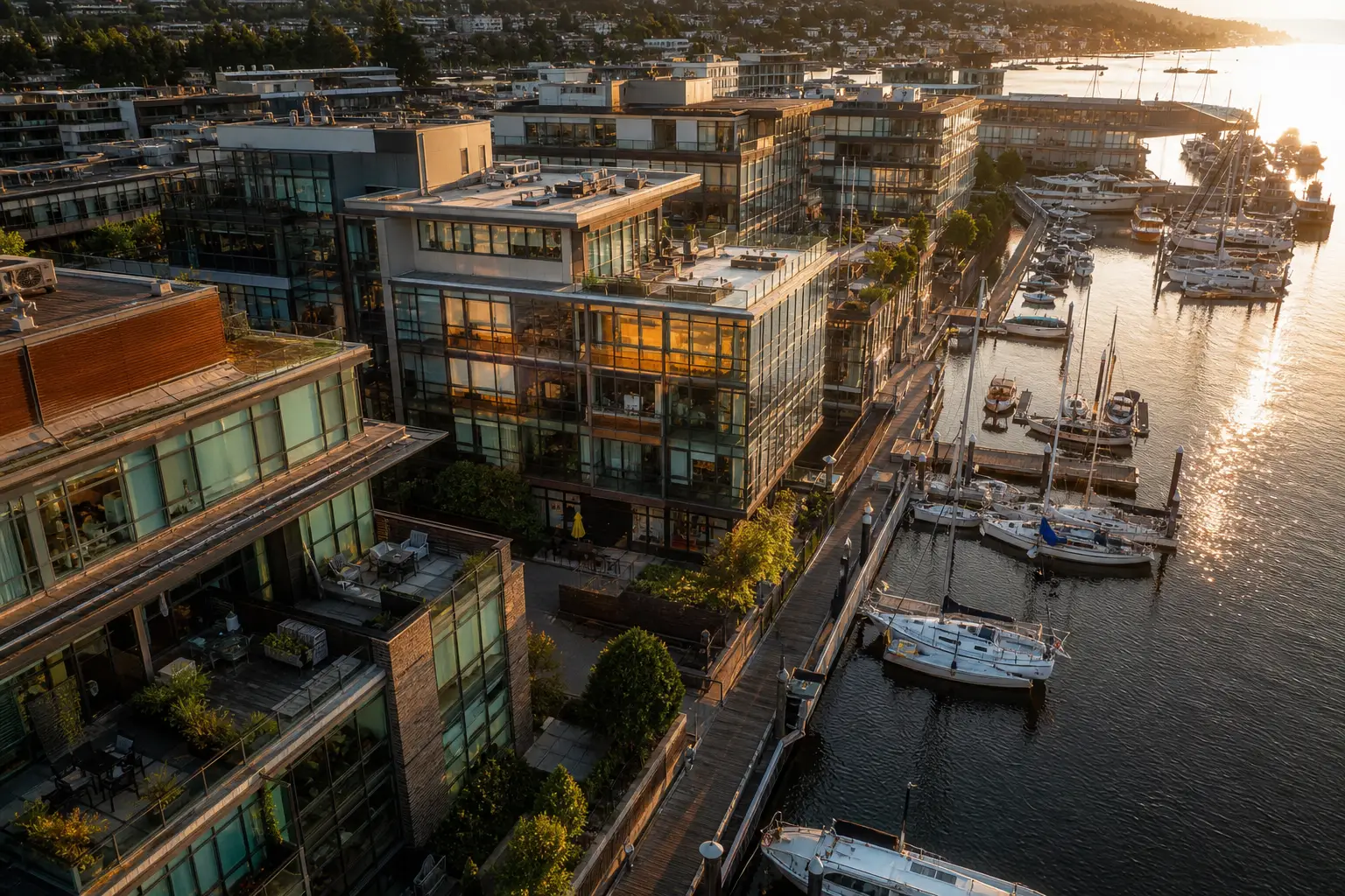
Harbor Lofts campaign
Waterfront mixed-use
Golden-hour stills and a 45-second aerial film for listing and investor decks — context, circulation, and waterfront amenity in one pass.
Photo set + cinematic edit
Portfolio
Representative capture work across marketing, mapping, measurement, progress, and tours. Filter by discipline — every card is a flight with a deliverable.
Marketing
Waterfront mixed-use
Golden-hour stills and a 45-second aerial film for listing and investor decks — context, circulation, and waterfront amenity in one pass.
Photo set + cinematic edit
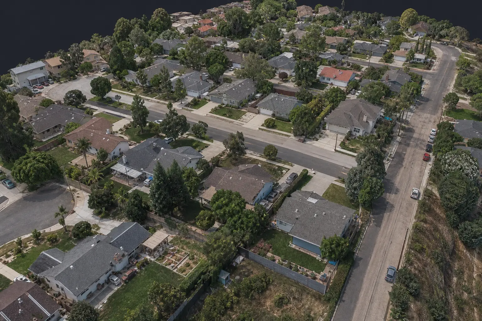
Photogrammetry
Residential community
Overlapping nadir and oblique captures processed into a dense textured mesh for sales, planning, and as-built archive.
Textured 3D mesh
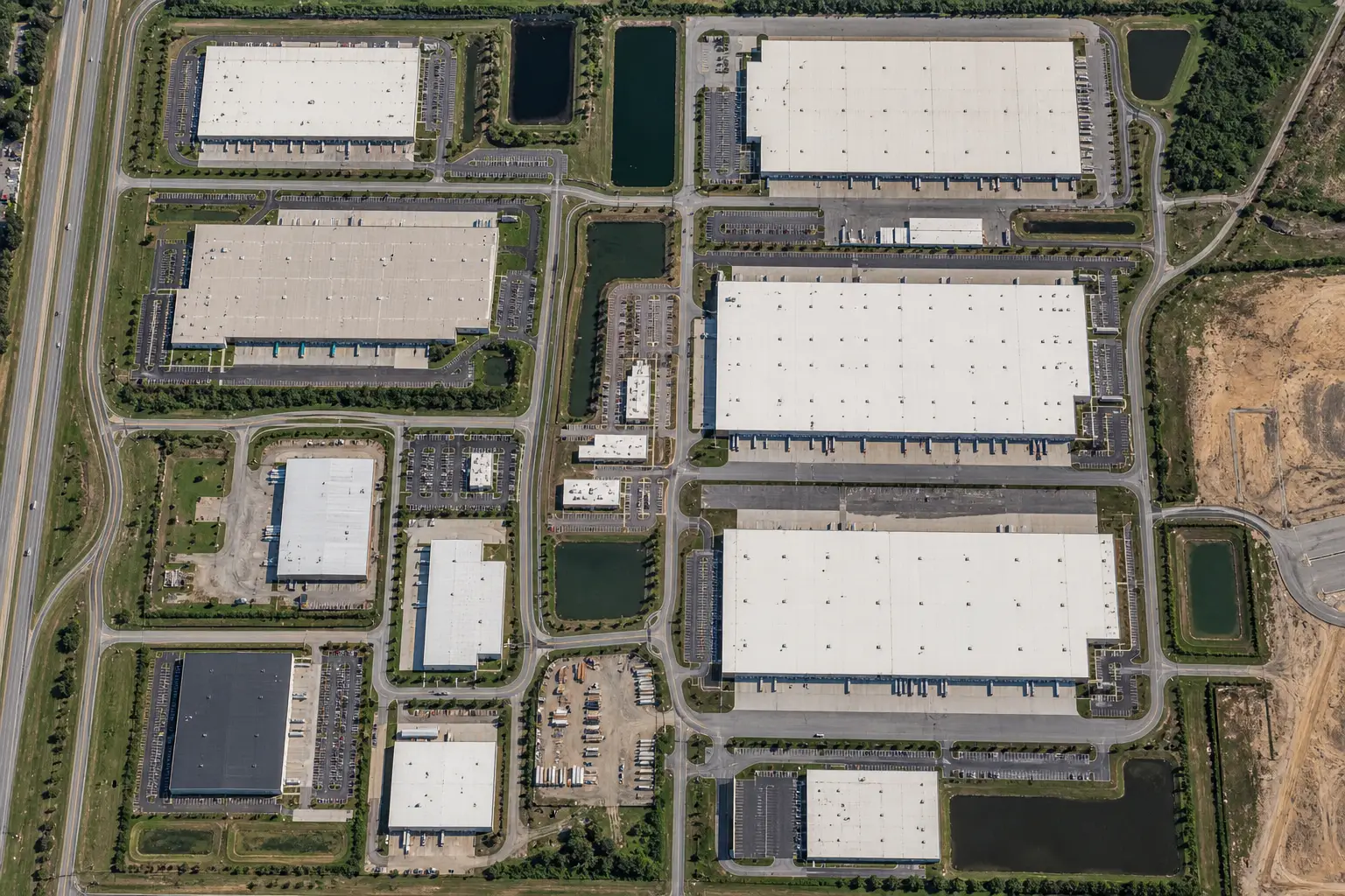
Orthomosaics
Industrial campus
A 2 cm GSD orthomosaic and DSM covering pads, drives, and storm infrastructure — ready for CAD overlay.
2D ortho + DSM
Stockpiles
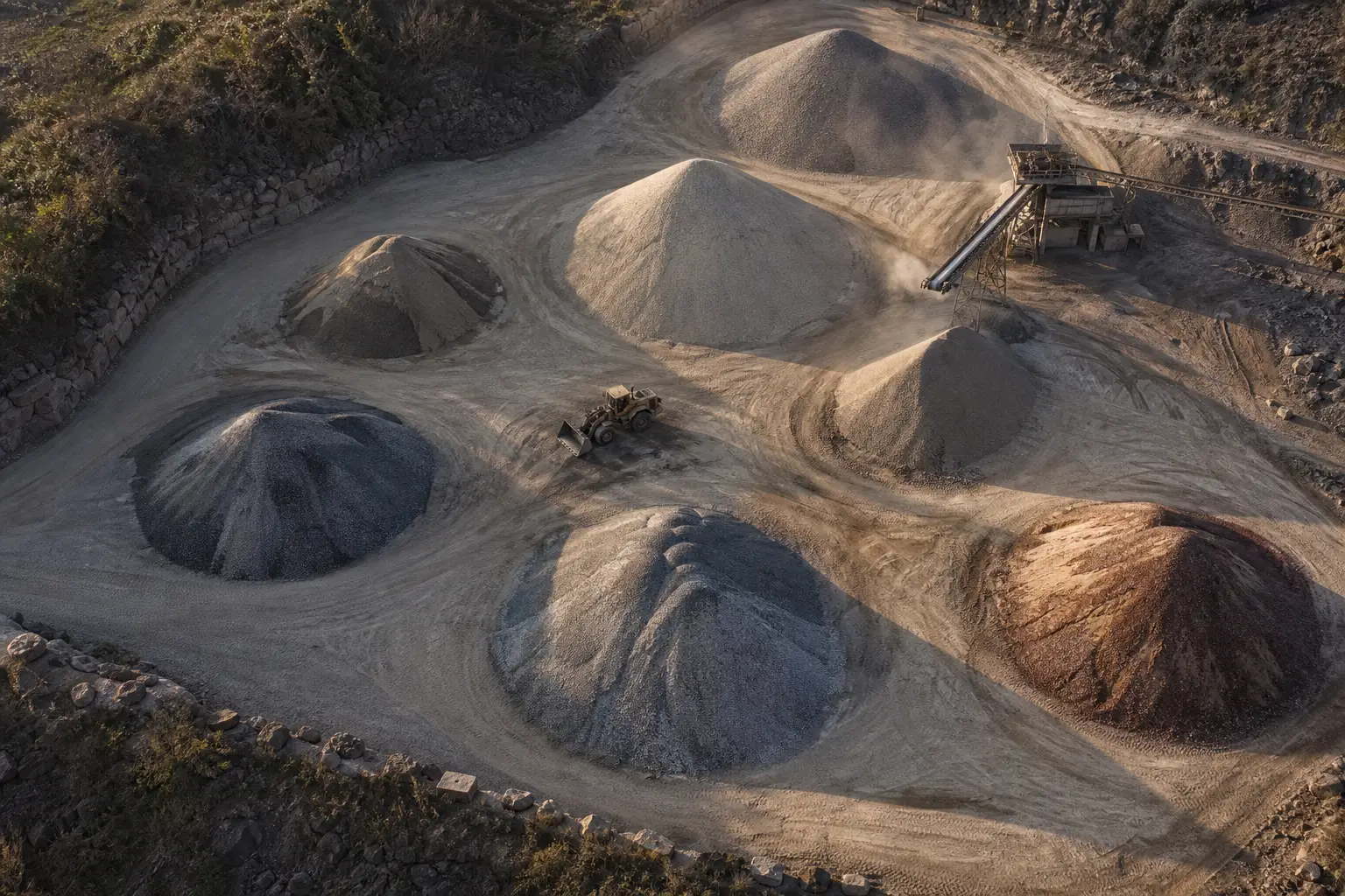
Aggregates yard
Monthly volume survey of eight stockpiles with change reports against the prior flight for inventory and billing.
Volume report + contours
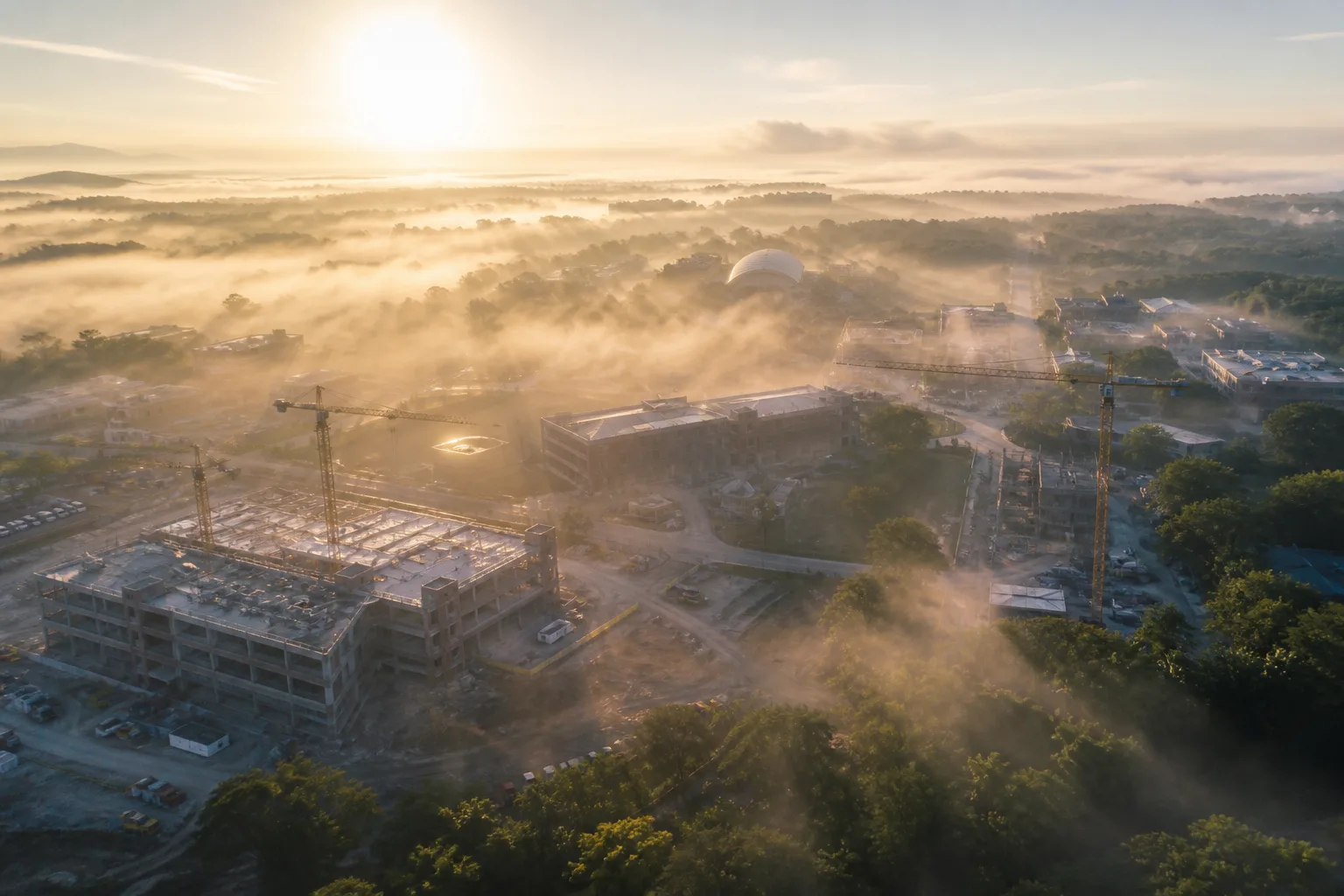
Progress
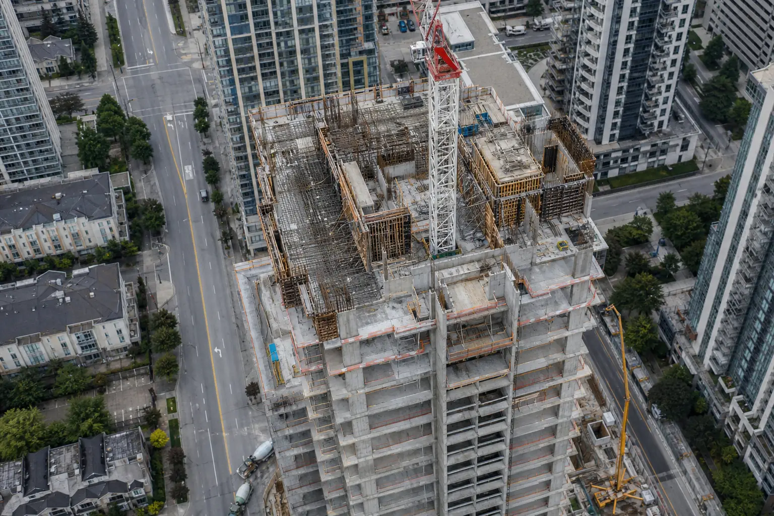
High-rise construction
Bi-weekly aerial stills from locked headings so the owner’s report always compares the same angles, month over month.
Progress stills + time-lapse
Virtual tours
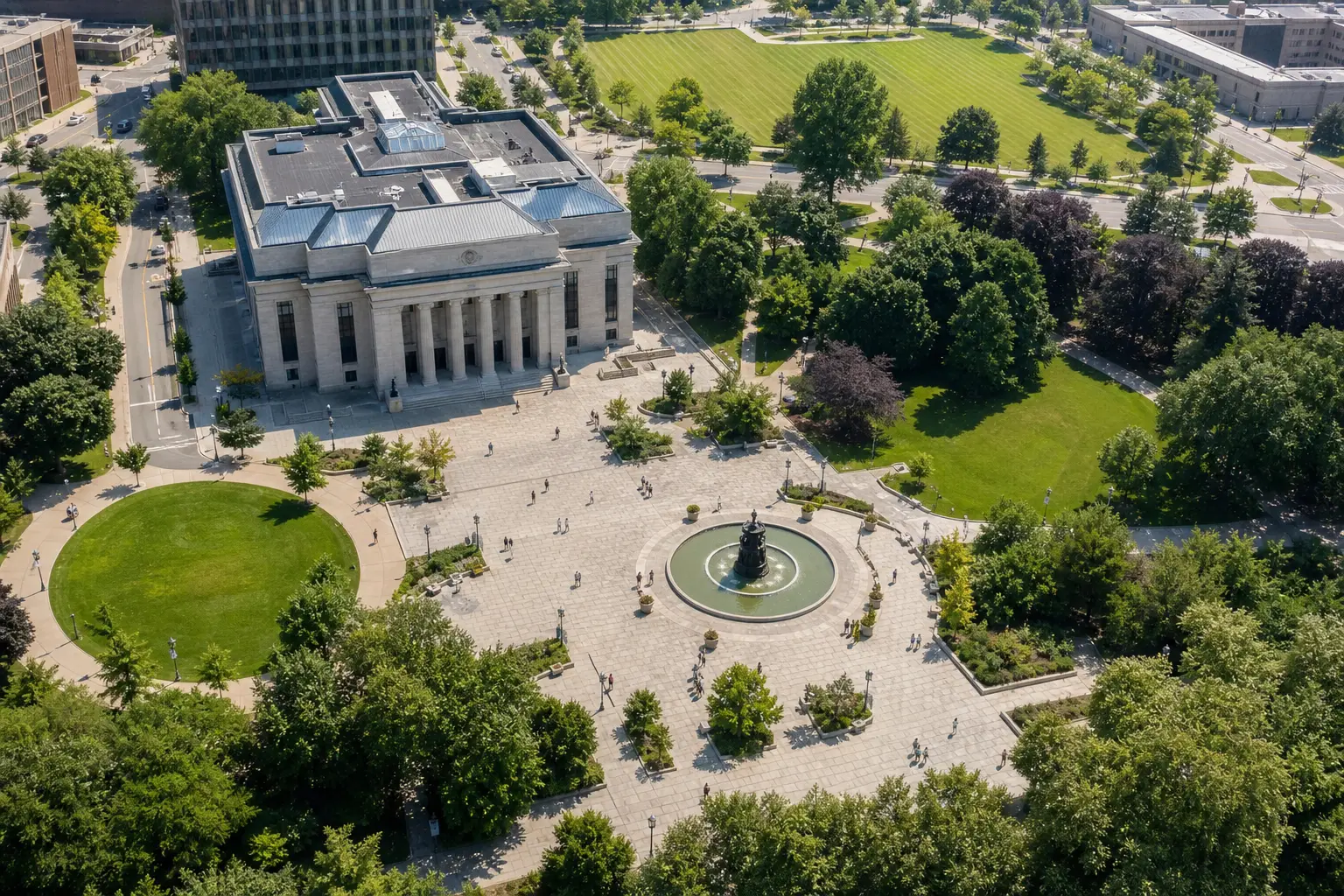
Public campus
A shareable virtual tour combining aerial context with ground 360 nodes for facilities, wayfinding, and public engagement.
Hosted virtual tour
Orthomosaics
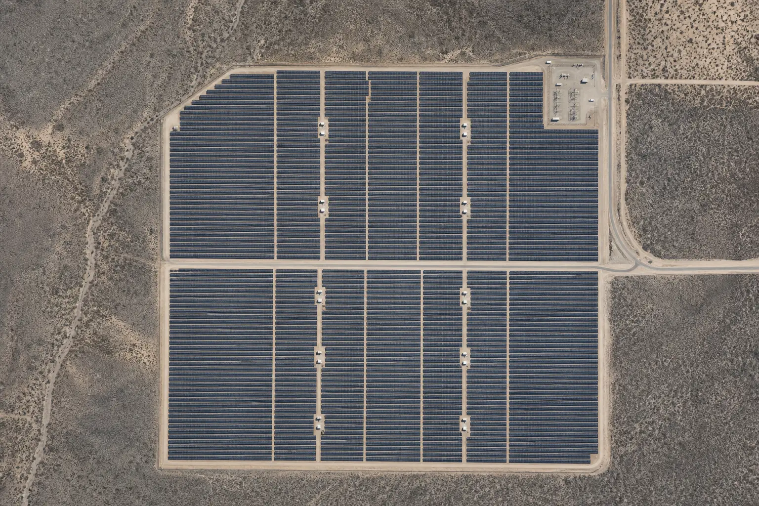
Utility-scale site
Full-array orthomosaic used for panel counts, access planning, and as-built documentation after commissioning.
GeoTIFF ortho
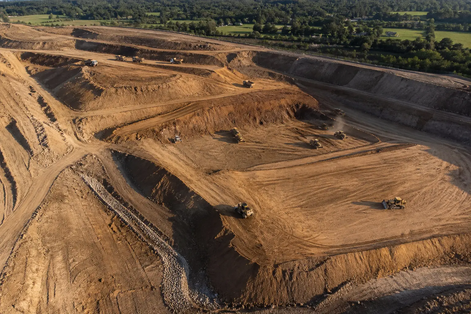
Photogrammetry
Earthworks program
Sequential 3D surfaces compared against design to show remaining cut, fill, and haul distances for the weekly meeting.
3D surface + difference map